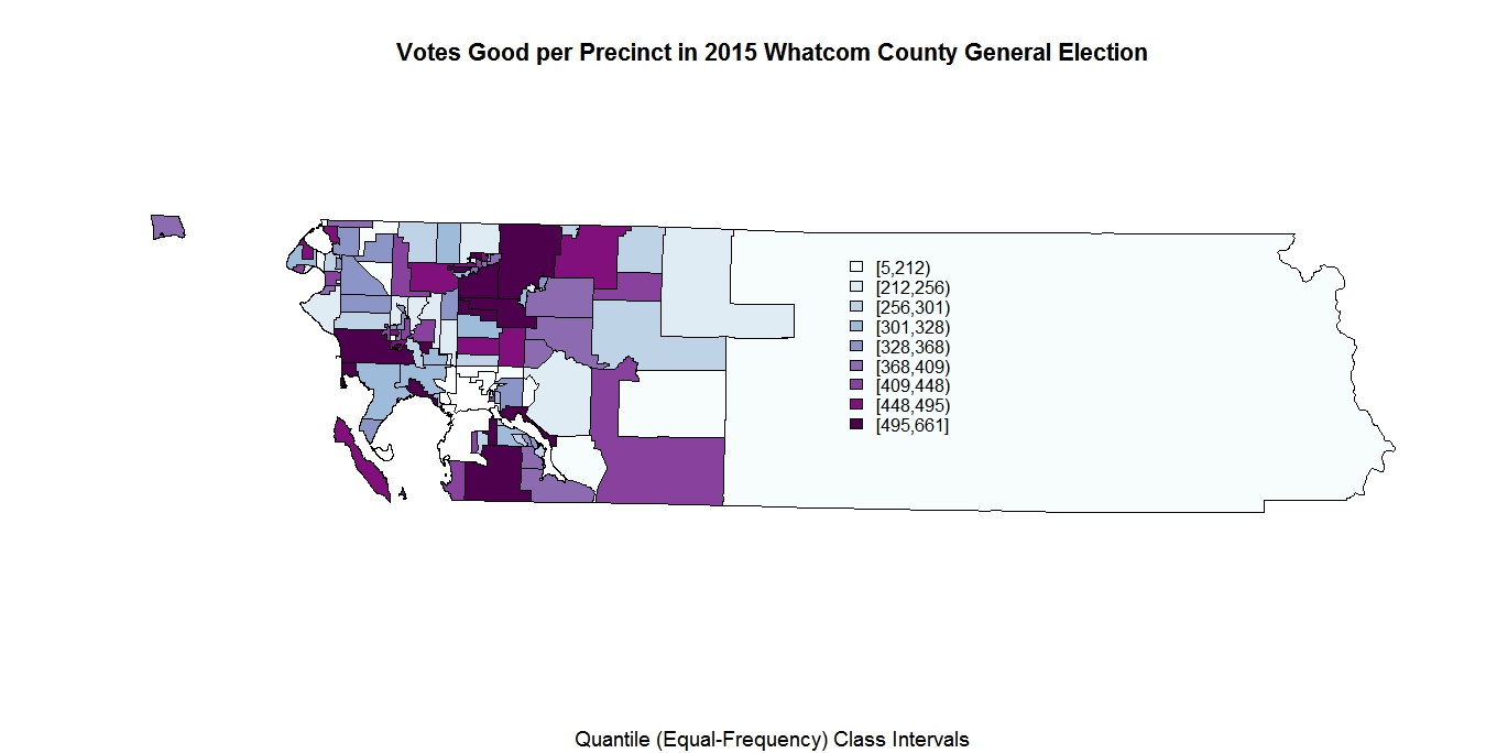
These are 2015 precinct election maps. GIS code in R is time consuming and complex. Click to enlarge these maps. The equal frequency (quartile) class intervals are expressed as: (min,max) for good ballots for the 2014 and 2015 general elections. The Jack Louws, Joy Gilifilen, and
precinct differences (Jack - Joy) totals for 2015 are expressed in color driven scales which have separate ranges (indexes) per map. Both precincts 182 and 183 have part of their data hidden
in the totals by the state of WA to protect privacy. The shape files and precinct maps can be found
here. My R code (which is very derivative - see
1,
2) can be found here (
3,
4). If you are a friend and you need code and data, email me.
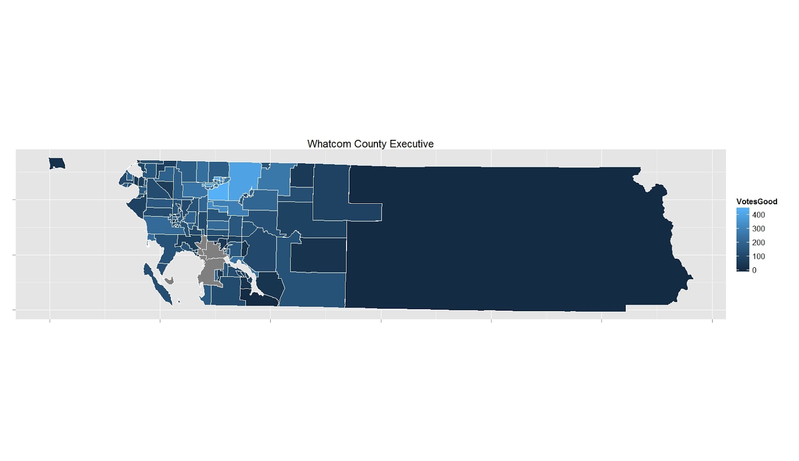
The four maps below are the difference between precinct totals for county executive (Jack - Joy) for each precinct. I use both red and blue scales which have reverse gradients for each:


No comments:
Post a Comment